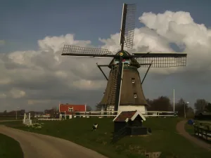
Oostknollendam
village in Wormerland, Netherlands...

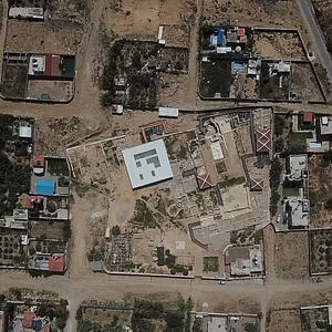
The Dutch Water Defence Lines represents a defence system extending over 200 km along the edge of the administrative and economic heartland of Holland. It is comprised of the New Dutch Waterline and the Defence Line of Amsterdam. Built between 1815 and 1940, the system consists of a network of forts, dikes, sluices, pumping stations, canals and inundation polders, working in concert to protect the Netherlands by applying the principle of temporary flooding of the land. It has been developed thanks to the special knowledge of hydraulic engineering for defence purposes held and applied by the people of the Netherlands since the 16th century. Each of the polders along the line of fortifications has its own inundation facilities.
Slug: whc-dutch-water-defence-lines
relatedTo:
isChildOf:
Location:
Created At: Tue Jan 21 2025 19:46:08 GMT+0100 (Central European Standard Time)
Updated At: Fri Feb 20 2026 16:25:31 GMT+0100 (Central European Standard Time)
Created By:
Version: 1
Status: test_v1
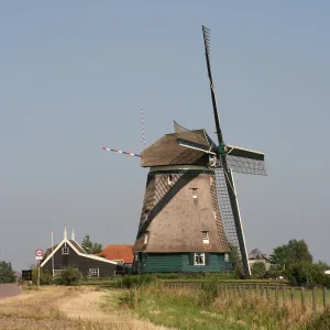
village in Wormerland, Netherlands...
village in Castricum, the Netherlands...
municipality in the Netherlands...
village in Zaanstad, Netherlands...
village in Wormerland, Netherlands...
town and municipality in the Netherlands...
The vast natural forest of Yellowstone National Park covers nearly...
Situated on the coastal dunes in Nuseirat Municipality, the ruins...
This serial property contributes to the understanding of the origin...
The serial property, located in the Highland Region of Scotland,...
The property is a rural settlement in northern Jordan that...
Surrounded by a remnant coastal forest, away from the coastline,...