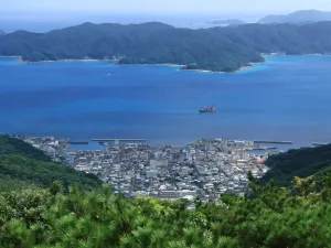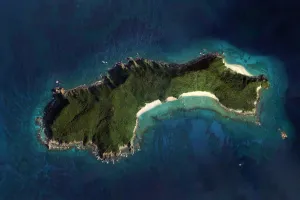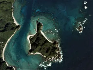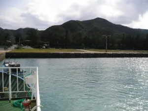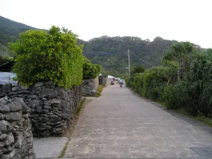
Amami Ōshima
island within Ryukyu Islands...
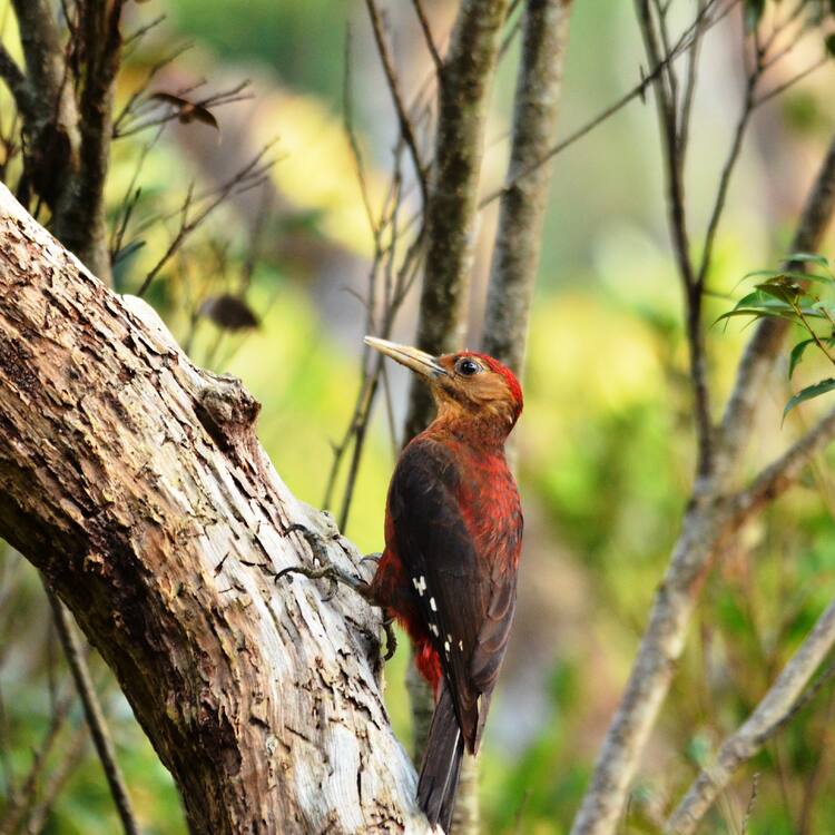
Encompassing 42,698 hectares of subtropical rainforests on four islands on a chain located in the southwest of Japan, the serial site forms an arc on the boundary of the East China Sea and Philippine Sea whose highest point, Mount Yuwandake on Amami-Oshima Island, rises 694 metres above sea level. Entirely uninhabited by humans, the site has high biodiversity value with a very high percentage of endemic species, many of them globally threatened. The site is home to endemic plants, mammals, birds, reptiles, amphibians, inland water fish and decapod crustaceans, including, for example, the endangered Amami Rabbit (Pentalagus furnessi) and the endangered Ryukyu Long-haired Rat (Diplothrix legata) that represent ancient lineages and have no living relatives anywhere in the world. Five mammal species, three bird species, and three amphibian species in the property have been identified globally as Evolutionarily Distinct and Globally Endangered (EDGE) species. There are also a number of different endemic species confined to each respective island that are not found elsewhere in the property.
Slug: amami-oshima-island-tokunoshima-island-northern-part-of-okinawa-island-and-iriomote-island
relatedTo:
isChildOf:
Location:
Created At: Tue Jan 21 2025 20:58:28 GMT+0000 (Coordinated Universal Time)
Updated At: Tue Mar 04 2025 13:34:59 GMT+0000 (Coordinated Universal Time)
Created By:
Version: 1
Status: test_v1
island within Ryukyu Islands...
island in Kagoshima, Japan...
island in Japan...
island in Japan...
island in Amami...
island in Amami...
Situated in the Pacific Ocean some 1,000 km from the...
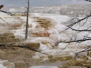
The vast natural forest of Yellowstone National Park covers nearly...
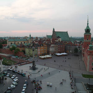
During the Warsaw Uprising in August 1944, more than 85%...
Founded in the 3rd millennium B.C., Damascus is one of...
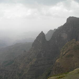
Massive erosion over the years on the Ethiopian plateau has...
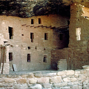
A great concentration of ancestral Pueblo Indian dwellings, built from...