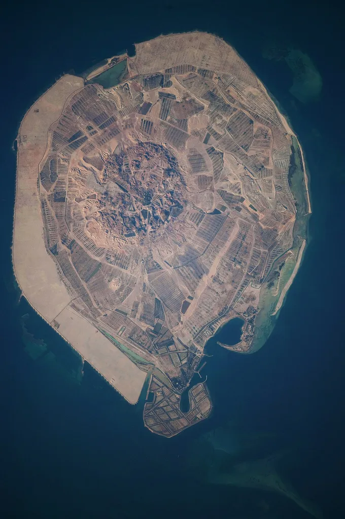
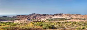
This astronaut photograph illustrates the varying character of surfaces on Sir Bani Yas. The central mountains of Jebel Wahid (image centre) mark the location of the Sir Bani Yas salt dome. The dome has breached the surface but exposed salt, primarily gypsum, is eroded, leaving a rugged, insoluble cap made of fragments of the overlaying sedimentary and volcanic rocks. Sand and silt derived from the Jebel Wahid and surrounding gravel-covered areas form beaches along the outer edge of the island. Tan graded areas along the western and north-eastern coast of the island (image bottom and image left) may be re-vegetated with additional plots or developed for other land uses.
Author: Image taken by the NASA Expedition 22 crew., License: Public domain
·
Source
Registration is currently only possible with an invite code. Please enter your invite code or use your personal invite link. If you don't have a code, you can request one from us.
 alpha
NOW FEDERATED!
alpha
NOW FEDERATED!