Inoltra il link. In chat e nelle e-mail compaiono titolo e foto dell'articolo.
https://mostlyharmless.travel/articles/kutha
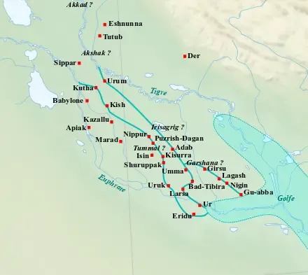
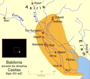
Map of the main cities of Lower Mesopotamia during the Ur III period (c. 2100-2000 BC), with the approximate course of the rivers and the ancient shoreline of the Gulf.
Author: Near_East_topographic_map-blank.svg: Sémhur derivative work: Zunkir (talk), License: CC BY-SA 3.0
·
Fonte
 alpha
NOW FEDERATED!
alpha
NOW FEDERATED!