Milecastle 20
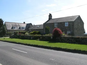
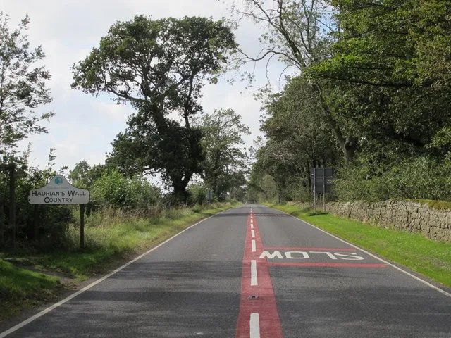
milecastle on Hadrian's Wall...
 alpha
NOW FEDERATED!
milecastle on Hadrian's Wall...
milecastle on Hadrian's Wall...
milecastle on Hadrian's Wall...
milecastle on Hadrian's Wall...
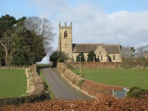
church building in Matfen, Northumberland, England, UK...
church building in Bywell, Northumberland, England, UK...
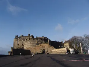
castle in Edinburgh, Scotland, UK...
monolithic limestone promontory located in the British overseas territory of...
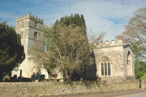
village and civil parish in Cherwell district, Oxfordshire, England...
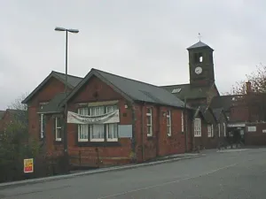
town and civil parish in North East Derbyshire, England...
island in the Isles of Scilly, Cornwall, England, UK...
island in Paget, Bermuda...