👍0
👎0
🧳
🔗
Inoltra il link. In chat e nelle e-mail compaiono titolo e foto dell'articolo.
https://mostlyharmless.travel/articles/milecastle-19
Copia link
Condividi…
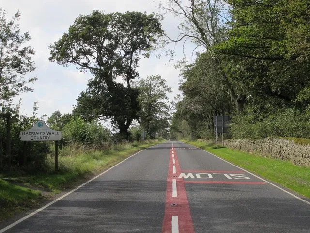
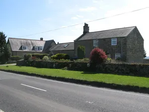
(The line of) Hadrian's Wall west of Piers Gate, Data from Geograph: Description: The Wall itself lies under the Military Road (B6318). ICBM: 55.011586458567, -1.9514959220489 Location: 3 km from Aydon, Northumberland, Great Britain.
Author: Mike Quinn, License: CC BY-SA 2.0
·
Fonte
Informazioni su questo luogo
milecastle on Hadrian's Wall
Lettura supplementare
Fonte e licenza: CC0 ·
Q6851154
Discussione
Nessun post o commento pubblico su questo luogo.
Per favore, accedi per inviare un commento.
Altri articoli scorrendo verso il basso
↓
Articoli correlati
Milecastle 20
milecastle on Hadrian's Wall...
Milecastle 18
milecastle on Hadrian's Wall...
Milecastle 21
milecastle on Hadrian's Wall...
Milecastle 17
milecastle on Hadrian's Wall...
Church of the Holy Trinity, Matfen
church building in Matfen, Northumberland, England, UK...
Church of St James, Bywell
church building in Bywell, Northumberland, England, UK...
❮
❯
1 / 2
castello di Edimburgo
castello di Edimburgo, Scozia...
Rocca di Gibilterra
promontorio monolitico calcareo situato a Gibilterra...
Stonehenge
sito neolitico vicino ad Amesbury nello Wiltshire, Inghilterra...
Yarnton
villaggio e parrocchia civile inglese...
Clay Cross
town and civil parish in North East Derbyshire, England...
St Martin's
island in the Isles of Scilly, Cornwall, England, UK...
 alpha
NOW FEDERATED!