👍0
👎0
🧳
🔗
Envia o link. No chat e no e-mail aparecem o título e a foto do artigo.
https://mostlyharmless.travel/articles/milecastle-19
Copiar link
Partilhar…
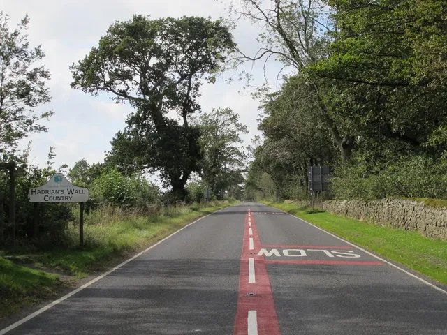
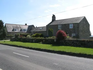
(The line of) Hadrian's Wall west of Piers Gate, Data from Geograph: Description: The Wall itself lies under the Military Road (B6318). ICBM: 55.011586458567, -1.9514959220489 Location: 3 km from Aydon, Northumberland, Great Britain.
Author: Mike Quinn, License: CC BY-SA 2.0
·
Fonte
Sobre este lugar
milecastle on Hadrian's Wall
Leitura adicional
Fonte e licença: CC0 ·
Q6851154
Discussão
Ainda não há publicações ou comentários sobre este lugar.
Por favor, faça login para enviar um comentário.
Mais artigos ao rolar a página
↓
Artigos relacionados
Milecastle 20
milecastle on Hadrian's Wall...

Milecastle 18
milecastle on Hadrian's Wall...
Milecastle 21
milecastle on Hadrian's Wall...
Milecastle 17
milecastle on Hadrian's Wall...
Church of the Holy Trinity, Matfen
church building in Matfen, Northumberland, England, UK...
Church of St James, Bywell
church building in Bywell, Northumberland, England, UK...
❮
❯
1 / 2
Castelo de Edimburgo
museu em City of Edinburgh, Reino Unido...
Rochedo de Gibraltar
promontório situado no território britânico de Gibraltar...
Stonehenge
Monumento pré-histórico em Wiltshire, Inglaterra...
Yarnton
village and civil parish in Cherwell district, Oxfordshire, England...
Clay Cross
town and civil parish in North East Derbyshire, England...
St Martin's
island in the Isles of Scilly, Cornwall, England, UK...