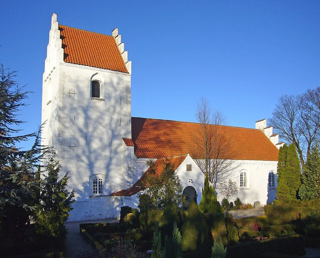
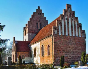
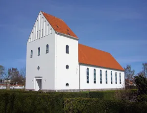
Fløng Kirke, Denmark. Camera location55° 39′ 42.12″ N, 12° 10′ 50.88″ E View this and other nearby images on: OpenStreetMap 55.661700; 12.180800 Fløng Kirke
Author: Jan Rasmussen, License: Public domain
·
Source
La registration est actuellement uniquement possible avec un code d'invitation. Veuillez entrer votre code d'invitation ou utiliser votre lien d'invitation personnel. Si vous n'avez pas de code, vous pouvez en demander un auprès de nous.
 alpha
NOW FEDERATED!