Envoie le lien. Dans le chat et les e-mails, le titre et la photo de l'article s'affichent.
https://mostlyharmless.travel/articles/rugi
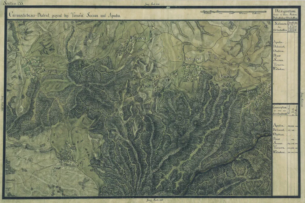
The Banat region in the cadastral maps: Josephinische Landesaufnahme, 1769-72. Josephinische Landaufnahme pg133
Author: Historische Militärkarte der österreichisch-ungarischen Monarchie, License: Public domain
·
Source
La registration est actuellement uniquement possible avec un code d'invitation. Veuillez entrer votre code d'invitation ou utiliser votre lien d'invitation personnel. Si vous n'avez pas de code, vous pouvez en demander un auprès de nous.

 alpha
NOW FEDERATED!