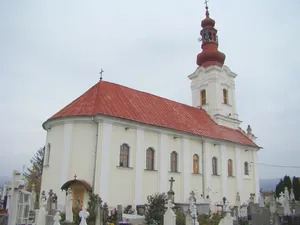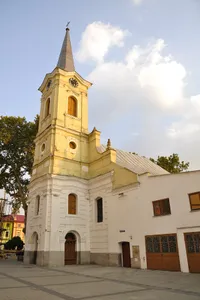
Roman Catholic church in Caransebeș
heritage site in Caraș-Severin County, Romania...
 alpha
NOW FEDERATED!

heritage site in Caraș-Severin County, Romania...
描述不可用...
heritage site in Caraș-Severin County, Romania...
village in Caraș-Severin County, Romania...
village in Caraș-Severin County, Romania...
village in Caraș-Severin County, Romania...
Neo-Renaissance royal castle in Sinaia, Romania...
village in Maramureș County, Romania...
village in Harghita County, Romania...
village in Timiș County, Romania...
village in Sibiu County, Romania...
city in Suceava County, Romania...