Schick den Link weiter. In Chat und Mail erscheinen Titel und Bild des Artikels.
https://mostlyharmless.travel/articles/sulawesi
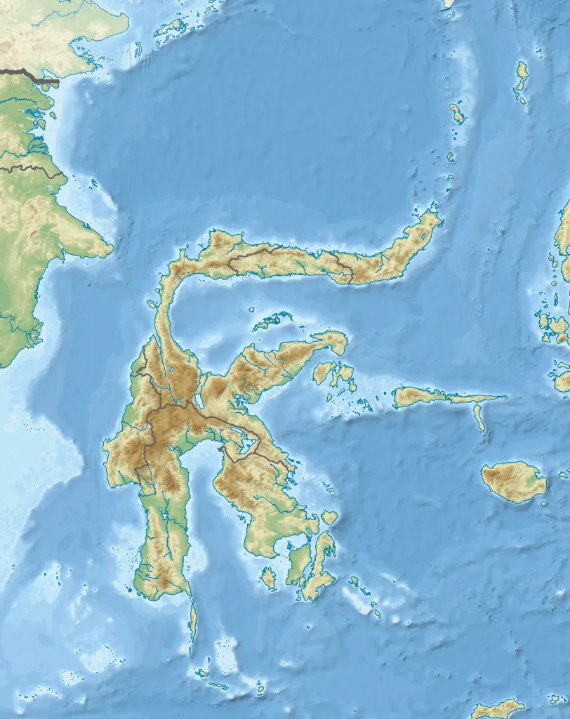
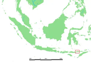
Topographic map of Sulawesi with administrative borders and surrounding islands belonged to the provinces in the island, including Liukang Tangaya and Masalima, South Sulawesi, Bala Balakang, West Sulawesi, and Miangas, North Sulawesi. I did not add maritime borders because I did not find any official sources in regards to it.
Author: RXerself, License: CC BY-SA 4.0
·
Quelle
Registrierung ist derzeit nur mit Einladung möglich. Bitte gib deinen Einladungscode ein oder nutze den persönlichen Einladungs-Link. Falls du keinen Code hast, kannst du einen bei uns anfragen.
 alpha
NOW FEDERATED!
alpha
NOW FEDERATED!