Reenvía el enlace. En el chat y el correo aparecen el título y la foto del artículo.
https://mostlyharmless.travel/articles/sulawesi
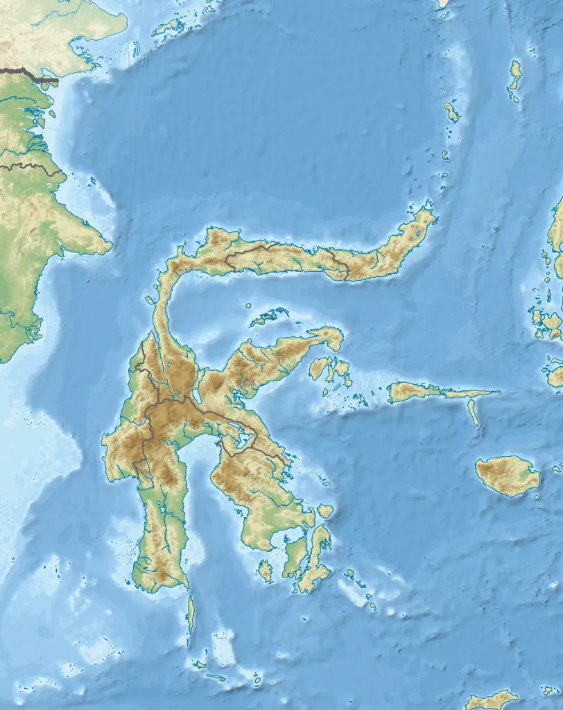
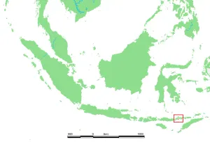
Topographic map of Sulawesi with administrative borders and surrounding islands belonged to the provinces in the island, including Liukang Tangaya and Masalima, South Sulawesi, Bala Balakang, West Sulawesi, and Miangas, North Sulawesi. I did not add maritime borders because I did not find any official sources in regards to it.
Author: RXerself, License: CC BY-SA 4.0
·
Fuente
La registración actualmente solo es posible con un código de invitación. Por favor, ingrese su código de invitación o use su enlace de invitación personal.
 alpha
NOW FEDERATED!
alpha
NOW FEDERATED!