Envoie le lien. Dans le chat et les e-mails, le titre et la photo de l'article s'affichent.
https://mostlyharmless.travel/articles/sulawesi
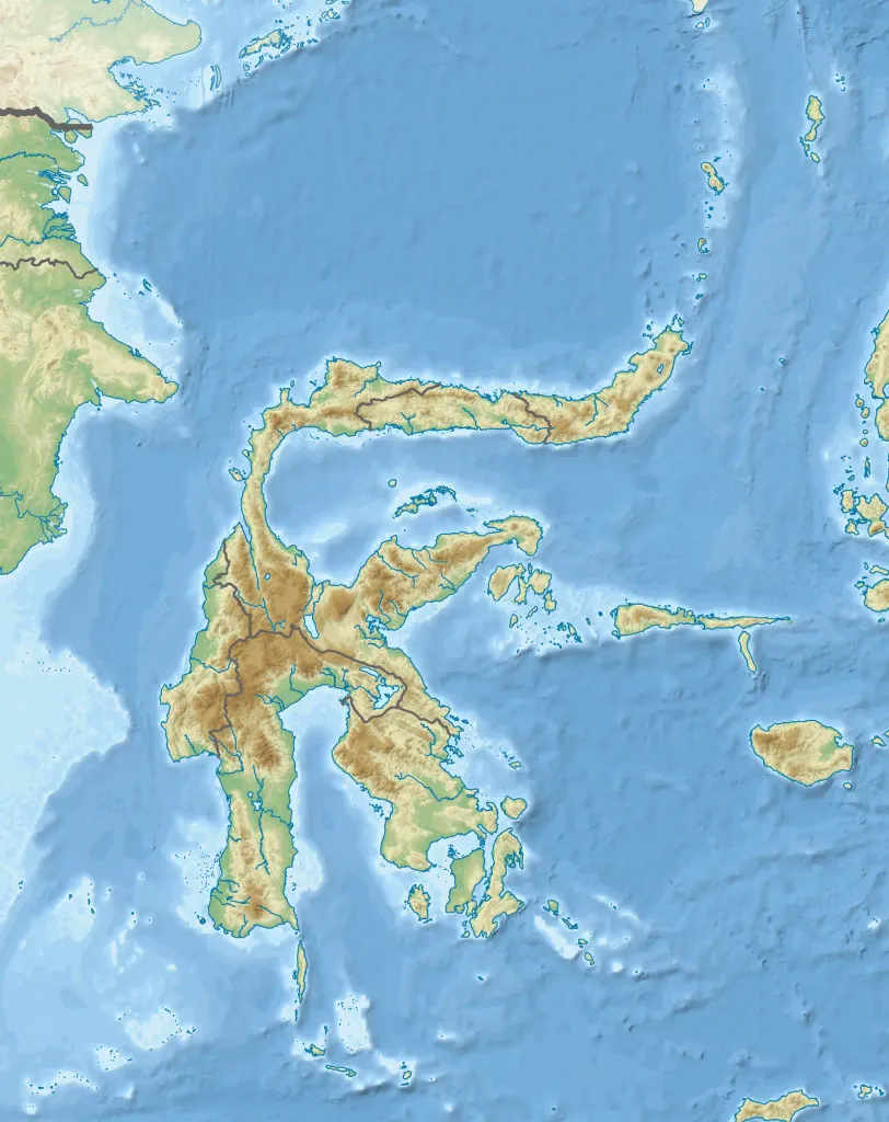
Topographic map of Sulawesi with administrative borders and surrounding islands belonged to the provinces in the island, including Liukang Tangaya and Masalima, South Sulawesi, Bala Balakang, West Sulawesi, and Miangas, North Sulawesi. I did not add maritime borders because I did not find any official sources in regards to it.
Author: RXerself, License: CC BY-SA 4.0
·
Source
La registration est actuellement uniquement possible avec un code d'invitation. Veuillez entrer votre code d'invitation ou utiliser votre lien d'invitation personnel. Si vous n'avez pas de code, vous pouvez en demander un auprès de nous.
 alpha
NOW FEDERATED!